 |
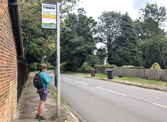
| Bus stop in Old Knebworth close to the start of a walk |
First choose one of the 290+ free walks on Hertfordshire Walker then scroll down to the interactive map at the bottom of the walk directions page.
Click on the map then zoom in (using the + sign) to find the bus stop nearest to the start point. The example below is a section of a map for Walk 107: Preston West Loop.
 |
| Part of the MapHub map for Walk 107: Preston West Loop Bus stop icon in blue with blue writing |
Next, open Intalink, the free Hertfordshire online bus schedule site. Intalink is a collaboration between Hertfordshire County Council, the bus and train companies who operate across the county, and the 10 local district and borough councils.
Once you are on the Intalink page, enter the name of your starting point.
Enter the name of the bus stop AND the village you want to travel to.
In the case above you would enter 'Red Lion Preston'.
Click on 'Get directions'.
 |
| Intalink bus journey to the Red Lion, Preston |
Two tips: Be sure to also check for the return journey so that you are not left stranded, and if you live close to a railway station it might be worth entering the name of the closest railway station to the destination to cut bus journey time.
Our interactive maps are provided free-of-charge by MapHub


No comments:
Post a Comment
Comments and feedback
If you try any of the walks on this site, please let us know what you thought of them by adding a comment here or on our members-only Facebook group. Comments here are checked before they are published. Comments on the Facebook group go live immediately.