3.6 miles (5.8km) with 54m of total ascent
This walk starts and finishes at the car park on Nomansland Common then loops through woodland before reaching the hamlet of Amwell where there is a short detour if you want to visit the
Elephant & Castle pub. A couple of stretches of the walk are along country lanes without pavements, but when we tested this walk we didn't meet any traffic.
There is a cafe at
West End Barns Cafe, Nomansland close to point 13 in the walk (location -
https://w3w.co/nearly.impact.diary).
Fly through preview of walk
If you want to check what sort of landscape you will be crossing before you set off on this walk you can view a short 3D video of the route below. It's created using the free version of
Relive.
Directions
 |
Walk 165: Amwell Loop
Click on the map for a larger version
Created on Map Hub by Hertfordshire Walker
Elements © Thunderforest © OpenStreetMap contributors
There is an interactive map below these directions |
Those with GPS devices can download
GPX or
KML files for this walk. We've added
What3Words location references for those who use that system. If you print these walks you might want to use the green
PrintFriendly icon at the bottom of these directions to delete elements such as photographs.
 |
| Take the path at the junction of Ferrers Road and Down Green Lane |
1: From the car park on Nomansland Common (location -
https://w3w.co/modest.advice.dollar), cross Ferrers Road then take the path at the junction with Down Green Lane then enter the woodland and head ENE for 35m until you reach a split in the path (location -
https://w3w.co/lower.safely.guides).
 |
| Head N through the woodland following the direction of the arrow |
Take the left fork then head N for 30m until you reach another split in the path (location -
https://w3w.co/comb.drops.wanted). Keep heading N following the line of the arrow in the image above for 190m until you reach a lane (location -
https://w3w.co/exist.shared.gets).
 |
| Take the path at the N end of the lane |
2: Head N along the lane for 70m before entering woodland again, see image above (location -
https://w3w.co/bright.passes.fires). Once in the woodland continue heading N for 50m before taking the right-hand fork (location -
https://w3w.co/cuts.motor.dimes) then head ENE for 45m until you reach a junction (location -
https://w3w.co/noises.heat.luxury) where you turn left then head N for 55m until you reach the end of the woodland (location -
https://w3w.co/remark.town.holds).
 |
| Leave the woodland then N on Wheathampstead footpath 82 |
3: At the end of the woodland you will reach Wheathampstead footpath 82. Follow this footpath N for 250m until you reach woodland (location -
https://w3w.co/ankle.blues.hung).
 |
| Turn left, still on Wheathampstead footpath 82, then head WNW |
4: Enter the woodland then turn left, still on Wheathampstead footpath 82, and head WNW for 170m to a fork (location -
https://w3w.co/composers.head.laws).
 |
| Continue until you reach a cut-through to High Ash Road on the left |
5: Turn right to join Wheathampstead footpath 27 then head NNE for 320m passing playing fields on the right, then continue until the path reaches houses. Look out for a cut through on the left to High Ash Road (location -
https://w3w.co/school.crops.rotate).
6: Turn left on High Ash Road then head WNW for 190m until you reach Amwell Lane (location -
https://w3w.co/ants.shots.defeat).
7: Turn left on Amwell Lane then head SW for 230m looking out for a footpath on the right (location -
https://w3w.co/bind.space.excuse).
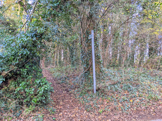 |
| Turn right on Wheathampstead footpath 81 |
8: Turn right on Wheathampstead footpath 81 then head WNW for 300m until you reach Down Green Lane (location -
https://w3w.co/charm.curl.solo).
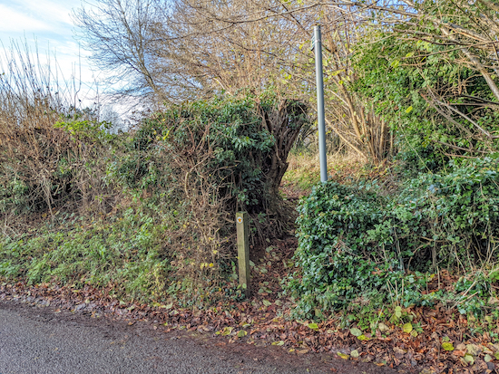 |
| Turn right off Down Green Lane on Wheathampstead footpath 80 |
9: Turn left on Down Green Lane then head S for 140m looking out for a footpath on the right (location -
https://w3w.co/skin.vibrate.librarian).
* When you reach the footpath you have the option of continuing heading S for 110m to visit The Elephant & Castle (location - https://w3w.co/decks.notes.recall).
10: Turn right on Wheathampstead footpath 80 then head WNW for 770m, with Wheathampstead golf course on your right, until you reach Pipers Lane (location -
https://w3w.co/fingernails.judges.coherent).
11: Turn left on Pipers Lane then head SW for 850m to a junction (location -
https://w3w.co/think.punch.oval).
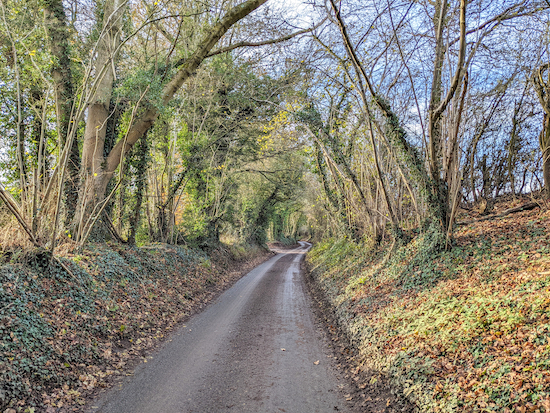 |
| Pipers Lane, which you follow for 850m |
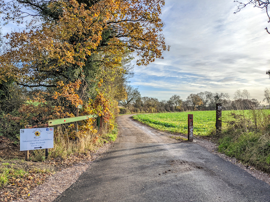
There isn’t a footpath alongside this lane, but it is a quiet lane with several opportunities to step to the side if vehicles approach.
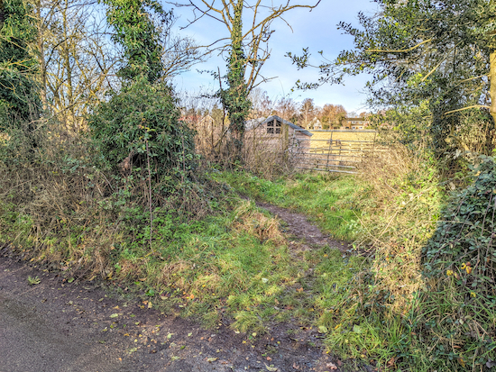 |
| The unofficial track running parallel to Pipers Lane |
There is a short detour track on the right 90m after you join Pipers Lane (location -
https://w3w.co/exist.fried.audio) which runs parallel to Pipers Lane for 210m until it rejoins the lane (location -
https://w3w.co/gangs.search.cage).
 |
| Wheathampstead footpath 14 heading towards Ferrers Lane |
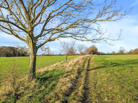
12: When you reach the junction, turn left on Wheathampstead footpath 14 (location -
https://w3w.co/indoor.polite.ranged) then head SE for 940m until you reach Ferrers Lane (location -
https://w3w.co/added.squad.lasted).
 |
| Crossing Nomansland Common towards the end of the walk |
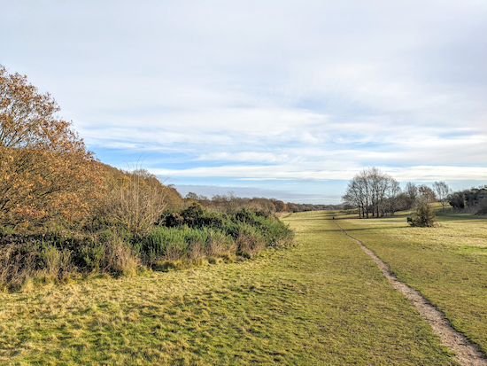
13: Turn left on Ferrers Lane then head NE for 10m before taking the footpath on the right and follow it heading E through woodland for 310m until you reach a clearing where you continue heading E for 720m crossing Nomansland Common before reaching the car park and the starting point.
* There is another pub, The Wicked Lady, 580m NE of the start/finish point.
Interactive map


Lovely walk if rather muddy ! We spotted two robins and a pheasant on the way. It is our first one and we will do another one next weekend.
ReplyDeleteGlad you enjoyed it, despite the mud. And thanks for the feedback. Mud is a problem this time of the year on almost all our walks, but it doesn't stop us getting out. :-)
DeleteOur 'Walk & Talk' group enjoyed this lovely walk on 13th January. Directions good to follow. Thanks for posting all these walks - our group hopes to do a lot more of them this year.
ReplyDeleteSo glad you enjoyed it. And nice to know your group is using our walks. Ellie and I send you best wishes for future rambles. And feedback always welcome. David
Delete