4.1 miles (6.7 km) with 67m total ascent
 |
| Poppies in the field described in point 5 below |
Directions
 |
| Map for Walk 70: Brookmans Park North-West Linear Created on Map Hub by Hertfordshire Walker Elements © Thunderforest © OpenStreetMap contributors There is an interactive map below these directions |
There is restricted parking in both Welham Green and Brookmans Park village centres and the surrounding roads (check signs), but you can pay to park in Welham Green station car park (location - https://w3w.co/cubs.ranges.socket) and Brookmans Park station car park (location - https://w3w.co/salt.minus.bath).
1: From Dixons Hill Road close to Welham Green station, head NNE, then NNW along Travellers Lane for 320m. The railway track will be on your right. Continue through the industrial estate until you reach Travellers Close on your left. Turn left here and walk W for 200m to the end of the close where you can cut through a path to Pooleys Lane (location - https://w3w.co/stay.cabin.lines).
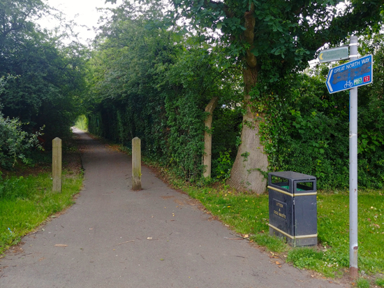 |
| North Mymms footpath 20 mentioned in point 2 below |
Take this path and head NNE 380m with the industrial estate on your right and fields and woods on your left until you reach a footpath on your left just before the path you are on bends to your right (location - https://w3w.co/unique.crush.frog).
 |
| North Mymms footpath 23 mentioned in point 3 below |
 |
| The trig point above Welham Green |
 |
| Head for the pylon keeping the hedgerow on your left |
Turn right then head NW then W along Dellsome Lane, also North Mymms footpath 52, for 330m ignoring a footpath off to your right. Continue until you reach a sign pointing to a gate on your left. You are now close to the A1(M) (location - https://w3w.co/losses.puddles.deed).
 |
| The metalled surface of this footpath is what is left of the old Dellsome Lane |
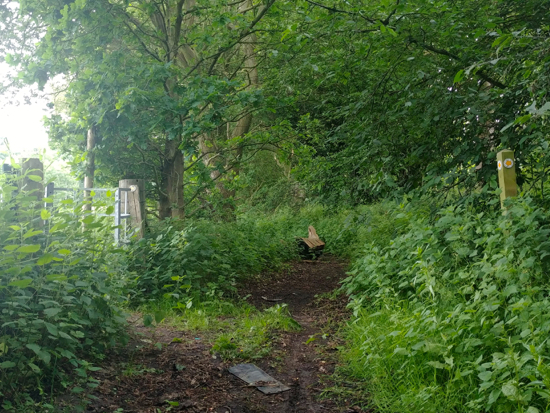 |
| The footpath at the end of the old Dellsome Lane |
Cross the bridge and, immediately after, take the footpath on your left accessed via wooden stairs. This is still North Mymms footpath 52 (location - https://w3w.co/since.range.camera).
 |
| The wooden stairs down to the footpath that heads S |
This is still North Mymms footpath 52 which heads SSE through the crops for 400m until it reaches a gate leading into woodland (location - https://w3w.co/noon.wacky.angel).
 |
| The gate mentioned in point 6 above |
7: Cross Tollgate Road, pass the war memorial and then turn right and walk SW along St Mary's Church Road for 240m crossing the river and continuing until you reach a footpath on your left just after the turn off to the church (location - https://w3w.co/pillow.bubble.quarrel).
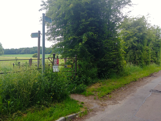 |
| The footpath mentioned in point 7 above |
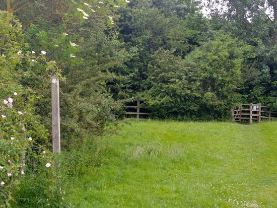 |
| The gate at the end of North Mymms footpath 6, (point 8) |
Cross the road and turn to your left heading NNW for 180m with Swanland Road on your left and garages on your right.
* At this point you could turn right along Warrengate Road and head for The Woodman Inn (location - https://w3w.co/laws.arrow.stick) if you are in need of refreshments.
Continue on the footpath alongside Swanland Road ignoring the first footpath on your right but taking the second (location - https://w3w.co/files.maybe.puff).
10: Take this path, North Mymms footpath 30, and follow it E for 190m with the hedgerow on your right and the field on your left. Ignore the paths off to your right and left but continue heading for the wooden marker post in the far right corner of the field at the point where the path swings round to the left (location - https://w3w.co/placed.clock.factor).
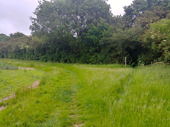 |
| The marker where you turn right, point 10 above |
Here you turn right. At this point you follow the path round to your right with the hedgerow on your right and the field on your left until you reach another marker post. Here your path bends to the left and then bends round to the right still with the hedgerow on your right and the field on your left.
The Ordnance Survey map shows this path going across the field in an SSE direction at this point (location - https://w3w.co/often.drips.mental). This footpath is rarely maintained and often ploughed over and covered in crops, so your best route is to head SSW with the field on your left and the hedgerow on your right following North Mymms footpath 8 for 150m until you reach the corner of the field and a path out to Bradmore Lane (location - https://w3w.co/vibrates.cute.organs). Turn left and follow the lane E for 810m until it meets Station Road (location - https://w3w.co/single.rings.blunt).
12: Turn right on Station Road and follow it S round over the railway bridge to Brookmans Park village.
There are several options for refreshments around Bradmore Green, including the pub/restaurant Brookmans.


No comments:
Post a Comment
Comments and feedback
If you try any of the walks on this site, please let us know what you thought of them by adding a comment here or on our members-only Facebook group. Comments here are checked before they are published. Comments on the Facebook group go live immediately.