2.75 miles (4.4km) with 87m of total ascent
 |
| The yellow trail at Northaw Great Wood |
The yellow trail at Northaw Great Wood is one of our favourite midweek walks. It's got plenty shade, and the woodland changes with the seasons making it feel like a different walk each time we do it. In the spring and summer the bracken and foxgloves stand tall, in the autumn sweet chestnuts and hazelnuts fall to the ground, and the woodland is beautiful after a fall of winter snow.
There is a large car park (location -
https://w3w.co/lunch.wounds.jelly) and you will need to have £1 in change for the parking fee honesty box. There are toilets next to the car park but there are no refreshment facilities or any pubs or cafes within easy walking distance of Northaw Great Wood. You will find picnic tables and benches along all three trails, and visitors are encouraged to take their rubbish home for environmental reasons.
Northaw Great Wood is a
Site of Special Scientific Interest (SSSI). The 223.6-hectare (553-acre) was once part of a huge Norman wood with mostly birch, oak and hornbeam. The historic woodland is managed by
Welwyn Hatfield Borough Council with help from volunteers who belong to
Friends of Northaw Great Wood.
Fly through preview of walk
If you want to check what sort of landscape you will be crossing before you set off on this walk you can view a 30-second video (below) of the route. The video is created using the free version of
Relive.
Directions
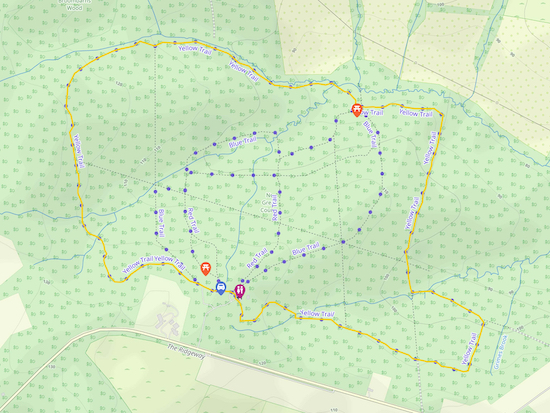 |
Map for Walk 56: Northaw Great Wood Yellow Trail
Click on the map above for a larger version
Created on Map Hub by Hertfordshire Walker
Elements © Thunderforest © OpenStreetMap contributors
There is an interactive map at the foot of this page |
Those with GPS devices can download
GPX or
KML files for this walk. We've added
What3Words location references for those who use that system. If you print these walks you might want to use the green
PrintFriendly icon at the bottom of these directions to delete elements such as photographs.
The map and
GPX navigation file on this page are for the yellow trail which is 2.75 miles and involves 87m of total ascent. We have also created a map and GPX navigation files for both
the blue trail, which is 1.45 miles, and
the red trail which is 0.75 miles.
There are signposts for all three trails, but not all forks have markers so it's easy to get lost. That is why we decided to create GPX files for each trail and add them as separate walks.
The honesty box (location -
https://w3w.co/desks.prone.mass) for the £1 parking fee is in the wall of the green building (see image below).
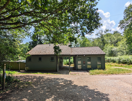 |
| The information hut with toilets and car park honesty box |
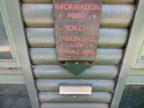 |
| The £1 honesty box for the car park charge |
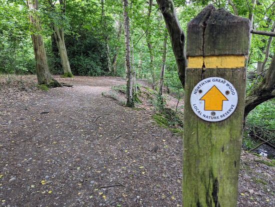 |
| Follow the yellow signs |
 |
| There are two picnic tables halfway round the yellow trail |
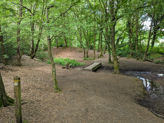 |
| The yellow trail crosses several footbridges |
 |
| There are some benches along the yellow trail |
 |
The yellow trail winding its way through the bracken
|
 |
Look out for the White Admiral butterfly along the way
|
Interactive Map


No comments:
Post a Comment
Comments and feedback
If you try any of the walks on this site, please let us know what you thought of them by adding a comment here or on our members-only Facebook group. Comments here are checked before they are published. Comments on the Facebook group go live immediately.